History of Grotto Bay
- Province: Western Cape
- West Coast
- Coordinates:33°30′05″S 18°19′09″E
- Area:0.80 km2
- Municipality: Swartland
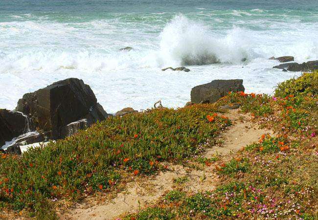
This is the area between Koeberg Private Nature Reserve and Yzerfontein. The Coastal Reserve is part of the far larger Cape West Coast Biosphere Reserve, which has been proclaimed by UNESCO. This aims to ensure that any development remains ecologically sustainable. Also, the landscape is conserved for future generations.. The area is covered in wildflowers in spring.
Fynbos and stretches of strandveld are home to a vast array of birds and other animals, including tortoises, steenbok, and duiker, and there is also an African Black Oystercatcher Conservation and Breeding programme in place.
Grotto Bay’s history is marked by its early use as a fishing and farming area. The name “Grotto Bay” reflects the natural grottoes or caves found along the coastline. The region has long attracted people for its natural resources and scenic beauty,
local WEATHER TODAY
see all listings in Grotto Bay
Things to see and do in Grotto Bay:
Useful Numbers
Refer to Darling’s numbers.
Police: Darling 022 492 2314
Traffic department:
Fire:
`Water:
Electricity:
Ambulance: 10177
Post office; Closest Mamre Post Office-021 576 1001
Library: closest is Mamre Public Library-021 576 1661.
Closest hospital; Wesfleur Hospital-021 571 8040
Pharmacy;
SPCA:
Towns in the Swartland district include: Chatsworth; Darling; Jakkalsfontein; Kalbaskraal; Koringberg; Malmesbury; Moorreesburg; Riebeek Kasteel and Yzerfontein;


