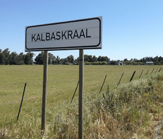
History of Kalbaskraal
- Province: Western Cape
- West Coast
- Coordinates:33°34′S 18°39′E
- Area:1.38 km2
- Municipality: Swartland
This village was established in 1898 when a railway crossing was erected on the farm Spes Bona, between Malmesbury and Cape Town. The village’s history is closely tied to the agricultural development of the Swartland region in the Western Cape, South Africa. The area where it is located was historically part of a larger farming community that developed during the 18th and 19th centuries. The Swartland region, known for its fertile soil and favourable climate, became a significant agricultural area, particularly for wheat and other grains.
The settlement began as a small settlement primarily serving the surrounding farms and their workers. The name “Kalbaskraal,” which means “calabash corral” in Afrikaans, suggests that the area was used for herding livestock, particularly cattle. Over time, it evolved into a small village with a modest residential population. The settlement served as a stopover and trading point for farmers in the region, facilitating the exchange of goods and services..
The postal code for Kalbaskraal is 7302
local WEATHER TODAY
see all listings in kalbaskraal
Useful Numbers
- Police: Philadelphia 021 972 1797
- Traffic department: Atlantis 021 444 1330
- Fire: Melkbos fire station 021 444 7308
- Water: 0860 103 089
- Electricity:0860 103 089
- Ambulance:10177
- Post office; Philadelphia 021 972 1303
- Library: Malmesbury 022 487 9439
- Closest hospital; Satellite clinic: open Mondays and Thursdays
022 487 9400 hoofweg Kalbaskraal - Pharmacy; Malmesbury 022 482 1685
- SPCA: swaartland 022 492 2781
- Schools: OJ Erasmus Primary school 022 481 3730
Towns in the Swartland district include: Chatsworth; Darling; Grotto Bay; Jakkalsfontein; Koringberg; Malmesbury; Moorreesburg; Riebeek kasteel and Yzerfontein;


