
History of Wittedrift
- Province: Western Cape
- Garden Route
- Coordinates: 34°00′26″S 23°20′18″E
- Area: 1.60 km2
- Municipality; Bitou
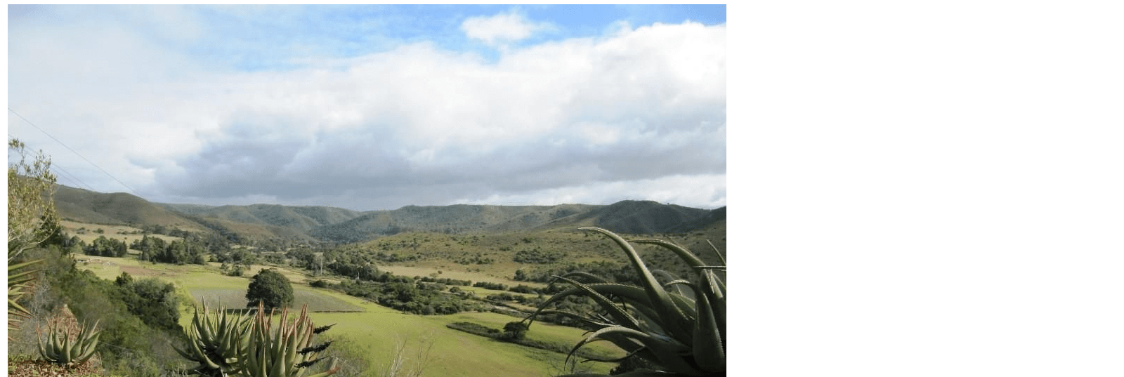
Wittedrift was originally inhabited by the Khoi and San people, who lived off the land, hunting, gathering, and trading with passing travellers. The region was rich in wildlife, and the nearby Bitou River provided a vital water source.
Establishment and Growth
Wittedrift was originally a farming area in the fertile lands around the Bitou River particularly for the cultivation of fruits and vegetables. The town’s name, which translates to “White Drift,” is thought to be derived from the pale sandbanks along the river or from the misty mornings that often envelop the area.
Modern Developments
In the latter half of the 20th century, Wittedrift began to evolve as a tourism destination Its proximity to Plettenberg Bay made it an attractive destination. Today, the area retains much of its historical character. The area is known for its warm community and the blend of traditional farming practices with modern living.
The postcode for Wittedrift is 6603
weather in wittedrift today
See all listings in Wittedrift

Useful Numbers
- Police: Plettenberg bay – 044 501 1900/044 501 3000
- Traffic department: 044 501 3240 / 3251
- Fire: 044 533 5000
- Electricity: 044 501 3260
- Ambulance: 10177
- Post office; Plettenberg Bay- 044 533 1260
- Library: New Horizons -044 501 3128
- Closest hospital; Mediclinic Plettenberg Bay-044 501 5100
- Clinic- 044 535 9061
- Pharmacy; Robberg Pharmacy-044 501 4630
- SPCA: PAWS Plett Animal Welfare Service-083 287 9917
- Schools; Wittedrift High School – 044 535 9731 and
Other towns and suburbs in the Bitou district include; Harkerville: Keurbooms River; Keurboomstrand: Kranshoek; Kurland village; Natures Valley;and Plettenberg Bay