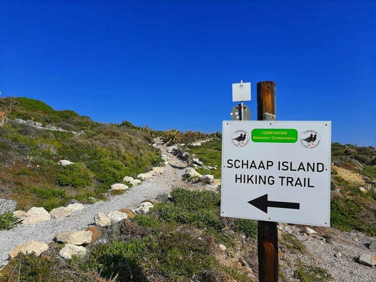
Schaap Eiland Hiking Trail
Schaap Eiland Hiking Trail Skirts the Edge of the Village of Yzerfontein on the main beach. The trail is beautifully signposted, there is a seashell footpath and benches where you can rest up.
The trail takes a Southerly route towards the harbour. It is about 2 km long. You will likely see many indigenous coastal birds such as the endangered African Black Oystercatcher. Also, between July and October, and sometimes later in the year, Southern Right and Humped Back whales come inshore. Read about whales and dolphins here
The route passes a rocky outcrop which the locals call Koeskatgat where a colony of dassies have made their home. The trail then passes the “Vishuis” which is, the oldest building in Yzerfontein. Follow the street and turn right towards the harbour. The original harbour wall was built during World War II. You will be able to see the Meeurots, beacon throughout your hike. You will then pass little fishing coves which all have names that the locals have given them. Such as Deurspring, Spuitgat, Blaasgat, Hoëbank, Starck’s Bank, Duiwenes, Gladdebank, Skuimgat, College, Draaibank, Grasbank, and Kreefgat. The trail then ends at Schaap Eiland. Which is in fact a little peninsula which is cut off from the mainland during high tide. On a clear day, you may even see Table Mountain to the south.