History of Bonteheuwel
- Province Western Cape
- Coordinates 33.951°S 18.554°E
- Area 3.55 km2
- Municipality City of Cape Town
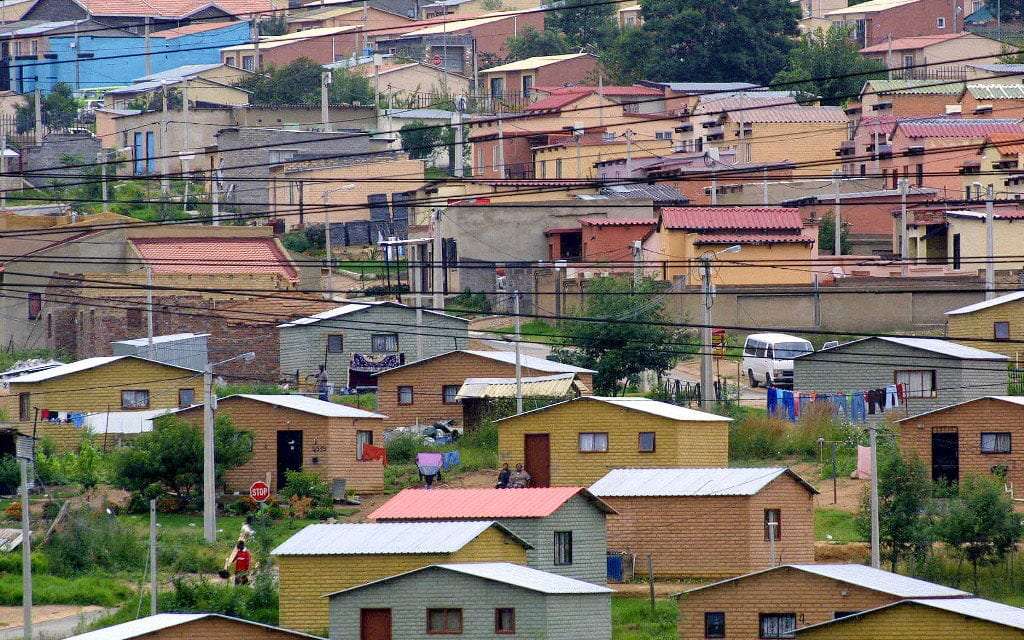
Bonteheuwel is a former Coloured township which was established in the 1960s as a new home for the victims of the Group Areas Act, particularly those forcibly removed from District Six. The name means “spotted hill” in Afrikaans, reflecting the area’s diverse community.
In the 1960s, the apartheid government began developing Bonteheuwel as a residential area for Coloured families. This development was part of a broader strategy to control urban growth and enforce racial segregation.
The postcodes for Bonteheuwel are 7764 (streets) and 7763 (boxes)
WEATHER IN BONTEHEUWEL TODAY
See all listings in bonteheuwel

Useful Numbers
- Police: 021 695 4258
- Traffic department: Elsies River 021 592 1158
- Fire: Epping Fire Department 021 534 1387
- Water: 021 546 3452 / 0860 103 33089
- Electricity: 0860 103 33089
- Ambulance: 10177
- Post office; 021 694 4712
- Library: 021 444 0140
- Civic Centre/Multi-purpose centre/community centre:021 444 0516
- Closest hospital; Vanguard Community Health Centre: 021 695 8238
- Pharmacy;
- SPCA: Grassy Park 021 700 4140
- Civic Centre / Bluegum community centre / Community centre / Multi-purpose centre.:021 444 0516
- Kalksteenfontein community centre:021 444 0916
- Schools
Bonteheuwel secondary school : 021 694 4645
Modderdam high; 021 100 3926
Boundary primary; 084 696 8592