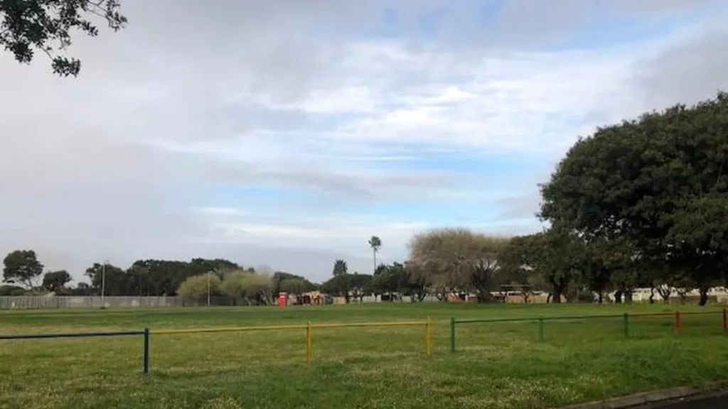
History Of Kenwyn
- Province; Western Cape
- Coordinates 33°59′56″S “18°30′31″E
- Area
- Municipality. City of Cape Town
This suburb was established in the mid-20th century. It emerged as a residential area during a period of suburban expansion in Cape Town. The suburb was developed primarily to accommodate the growing middle-class population in the post-World War II era, a time when many of Cape Town’s suburbs were expanding rapidly.
Kenwyn was shaped by the policies of apartheid, which dictated residential areas based on race. This led to a diverse yet segregated community dynamic in the region. After the end of apartheid in the early 1990s, Kenwyn, along with the rest of Cape Town, experienced significant social changes. The area became more integrated, reflecting the city’s broader transition towards diversity and inclusion.
The postcodes for Kenwyn are 7780 (Streets and 7790 (Boxes)
WEATHER IN KENWYN TODAY
see all listings in kenwyn
Useful Numbers
- Police: 021 700 9045
- Traffic department: Gallows Hill 0860 103 089
- Fire: Wynberg-021 444 9623
- Water: 0860 103 089
- Electricity: 0860 103 089
- Ambulance:Red Alert Paramedics- 082 757 2283/ 10177
- Post office; Lansdowne-021 797 7589
- Closest hospital/clinic;Lansdowne Clinic-021 797 4217
- Pharmacy; Lansdowne-Springbok Pharmacy-021 696 1532
- SPCA: Cape of Good Hope- 021700 4140
- Schools
Kenwyn Primary School-021 762 2720
Oaklands High School-021 761 1701
Sunlands Primary School-021 797 8010


