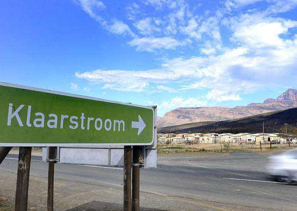
History of Klaarstroom
- Province: Western Cape
- Garden Route
- Coordinates:33.3°S 22.333°E
- Area:3.27 km2
- Municipality: Prince Albert
Klaarstroom was originally called Pietersburg The current name means “Clear stream” This would refer to the water that flows off the Swartburg mountains. As a result of this water, the vineyards flourish and produce wonderful grapes. This in turn produces the best Witblits which is a distilled spirit from the grapes. Some swear by its medicinal qualities, others insist it affects eyesight.
The otherwise sleepy town was the scene of a commotion during the Anglo-Boer War when Denys Reitz and his flying commando galloped through the British-held town.
The town has kept its rural sleepy atmosphere but there is a dam in the area that is offered as a skinny dipping venue.
Klaarstroom also has its own ghost story ” The Wandering Jew of the Swartburg. An old smous (hawker) who rides with visitors and then suddenly disappears.
The postcode for Klaarstroom is 6932
Things to see and do in Klaarstroom
local WEATHER TODAY
all listings in klaarstroom
 Useful Numbers
- Police: 079 893 9995
- Traffic department: Prince Albert 023 541 1648 / 648 / 306
- Fire: Prince Albert – 0842796430 or 0822200848
- Water:0822200848
- Electricity:023 5411320, after hours on tel: 0822200848
- Ambulance: 10177
- Post office; Post Agency – 023 541 1667
- Library:023 541 1193
- Closest hospital; Prince Albert 023 541 1300/ 1301
- Clinic; Sub-District Office – 023 5411 300
- Pharmacy;
- SPCA: The De Rust Animal Health Trust 082 297 6977
- Schools: Primary school 023-541-1993

