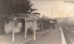
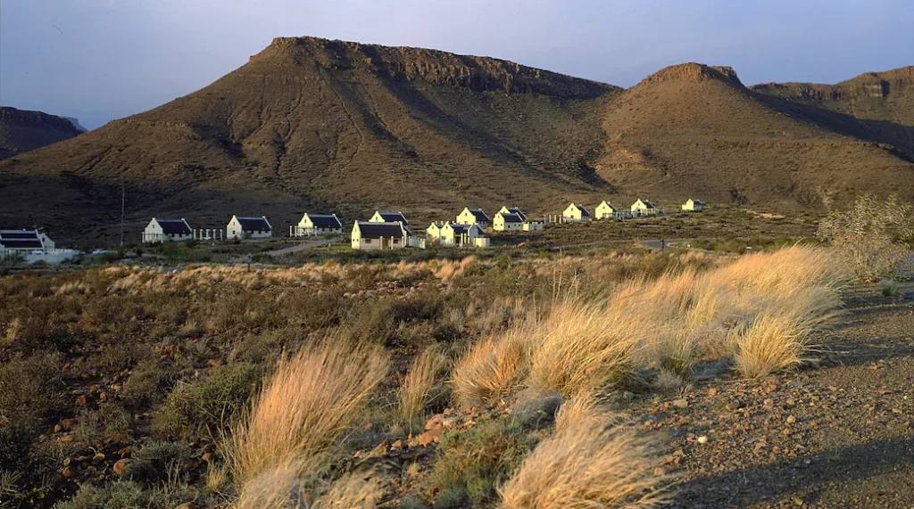
History of Laingsburg
- Province: Western Cape
- Central Karoo
- Coordinates:33°11′42″S 20°51′33″E
- Area:723.72 km2
- Municipality: Laingsburg
Laingsburg is situated near the Buffels River. While the area is dry it has faced recurring flooding issues throughout its history. Dutch settlers first documented floods in the area as early as 1776. The town’s modern history began in 1879 when Stephanus Greeff purchased the Zoute Vlakte (Salt Flats) and Vischkuil-aan-de-Buffelsriver (Fishpool on the Buffalo River) farms. He aimed to establish a settlement, initially named Buffelsrivier, then Nassau, and finally Laingsburg, in honour of John Laing, the Commissioner of Crown Lands in the Cape Colony.
The town grew gradually, despite conflicts with the indigenous San and Bushmen people. Laingsburg was officially declared a municipality in 1904, following a new wave of settlers arriving in 1881.
During the Anglo-Boer War, Laingsburg saw significant military action. The British built three blockhouses to defend against Boer commandos, leading to skirmishes in the area. Renowned Boer commandant Gideon Scheepers was captured and later executed in Graaff-Reinet.

In 1981 after 3 days of heavy rain, the rivers in the area which are usually dry became flooded which caused the collapse of the Floriskraal dam wall. A wall of water swept down towards Laingsberg. The water level was 10 metres above normal. Houses, people vehicles, and animals were swept away. The town was a scene of destruction where two-thirds of the infrastructure was ruined. The flood was so large and powerful that some bodies and debris were found in Mossel Bay some 200 km away. There were further floods in 2008 and again in 2014 but there was a lot less damage. There is, however, a constant threat of a repeat of the tragedy
The license plate prefix for Laingsberg CBM and the postcode is 6900
WEATHER IN LAINGSBERG TODAY
all listings in Laingsberg
Things to do and see in Laingsberg
- Karos Gravel Corridor Cycle Tour
- Boesmanspoort pass
- Bosluiskloof pas
- Witnekke pass
- Varsbokkraal pass
- Flood museum
- Laingsburg Running Festival Categories: 80km, 21.1km, 12km, 5km – 073 654 1652
- Self-Guided Walk. Walk the Flood route 023 551 1868
- Farmers Market Last Saturday of the month 09:00 till 11:00 Tourism complex in Museum Lane
- The 24 km ‘Klipkraal Route’along the crest of the Swartberg
- the 16 km’ Verlorenhoek Trail’
- The Annual 80 km Karoo Marathon,
- A two-day Guided Horse Trail
Useful Numbers
- Police: 023 551 8200
- Traffic department: 023 551 1110/ 023 551 1021
- Municipality; 023 551 1019/073 148 7665
- Home affairs: 023 551 1069
- Fire: 023 55 1019
- Water:023 551 1019
- Electricity: 023 551 1019
- Ambulance:10177/ 023 551 1420/023 551 1420
- Post office; 023 551 1073
- Library: 023 551 1019
- Closest hospital; 023 551 1237/023 5511 2028/023 5511 2028
- Pharmacy; 38 voortrekker st laingsberg
- SPCA: Diere in nood 0827305597/071 419 5977/0840750241
- Schools: Accacia primary 023 551 1191
Laingsberg high school 023 551 1029 - Tourism 023 551 1868
- Museum; 023 551 1868
See also Matjiesfontein, also in the Laingsburg municipality


