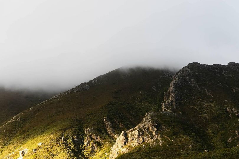
Boosmansbos Wilderness area
Boosmansbos Wilderness Area is in the southern Langeberg. It is 14 200ha in extent, within the Grootvadersbosch Nature Reserve. The name comes from the story of a hermit who lived in the forest in the early 19th century. The highest peak is Grootberg at 1 627 m. The higher elevations are scattered with fault valleys. To the north are some sandstone ridges which flatten out to a plateau made up of gravel and sandstone. The south-facing slopes are less steep. Koksposberg is a prominent, ridge running along the front of the mountain.
Boosmansbos was proclaimed a Wilderness Area in 1978 in order to safeguard its pristine environment, and it was declared a World Heritage Site in 2004. The Langeberg mountains have all-year rainfall with an average annual rainfall of 1 050 mm.
The mountains are covered with Mountain fynbos and forest vegetation and many rare species of ericas are found here.
Hiking trails
Hiking paths in Boosmansbos Wilderness area are unmarked, however, there are basic huts along the way. The terrain is difficult and the weather can turn nasty. Heavy rains can cause the river to flood. It is imperative to carry an accurate map. Only 12 people are allowed on the paths per day. There are 64km of paths and hikers may choose their own routes. The circular two-day route of 27km is a popular option. Fires are not permitted and all refuse must be removed.

 Afrikaans
 Chinese (Traditional)
 Danish
 French
 German
 Greek
Greek Hindi
Hindi Italian
 Japanese
 Portuguese
 Russian
 Spanish
 Swedish
 Xhosa
Xhosa Zulu
Zulu