
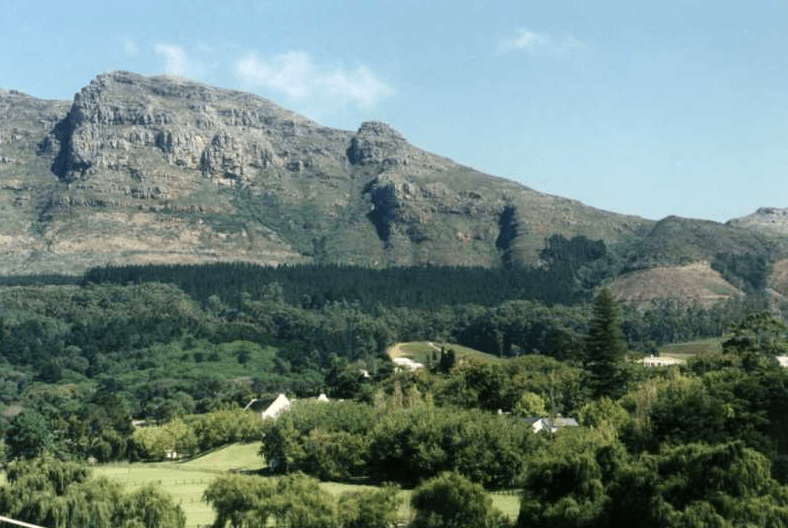
Constantiaberg
The 927m high Constantiaberg is part of the spine of mountains that run the length of the peninsula behind Table Mountain. Constantiaberg is about 7km South of Table Mountain near Constantia Nek. It can be recognised by thetall mast on its summit. It can be reachedby walking on a wide road. On the lower eastern side of the mountain is Tokai Forest. This consists largely of commercial pine and gum plantations.
The forest is crisscrossed with hiking trails and gravel roads, the forest is popular for walking, running and mountain biking.
The West side of the mountain faces Hout Bay. There is a tarred road leading to the summit where there is a 100m tall VHF mast which was erected in the 1960s. It is used to transmit radio and television signals 34°03′17.78″S 18°23′10.77″E. Also on the summit is a radar installation belonging to the South African Weather Service.

 Afrikaans
 Chinese (Traditional)
 Danish
 French
 German
 Greek
Greek Hindi
Hindi Italian
 Japanese
 Portuguese
 Russian
 Spanish
 Swedish
 Xhosa
Xhosa Zulu
Zulu