Hottentots Holland mountains
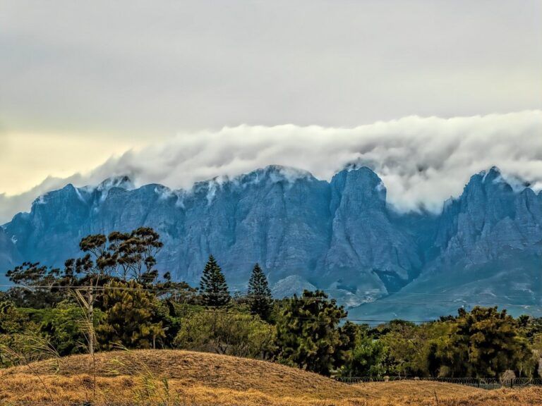
The Hottentots Holland Mountains which include the Helderberg district, are part of the Cape Fold Belt. The mountain range forms a barrier between the Cape Town metropolitan area and the southern Overberg coast. It is primarily composed of Table Mountain Sandstone and lies between Somerset West and Gordon’s Bay to the west, and the Elgin Valley to the east. Sir Lowry’s Pass is the only road over the mountain.
Access used to be via the Gantouw (Eland Pass) which was used by wagons. Cuts and wheel markings from the wagons can still be seen in rock formations on the mountain. The new Sir Lowry’s Pass was opened 6th of July 1830. Wagons of the Great Trek which began in 1835, did not use the old Gantow pass, but they instead used the new road. Migrants from Cape Town to the interior crossed this barrier first.
The climate in the Hottentots Holland mountains tends to be somewhat cooler and the area greener than other parts of the Cape, with an annual rainfall of over 1500mm. Most of the rain falls during winter when snow can be seen on the higher peaks such as Verkykerkop, Somerset Sneeukop at 1590 m.
The surrounding valleys have rich alluvial soils which support viticulture and fruit farming.
Is this your business?Claim it now.
Make sure your information is up to date.Colourdots is an independent Western Cape regional information resource. Learn more about the site here.