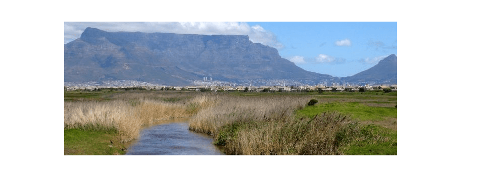
The Diep River
The Diep River is in the South Western Cape. The catchment area is surrounded by the towns of Riebeeck-West in the north, Paarl in the east, Atlantis in the west and Milnerton in the south. This makes up a total area of about 1,495 km2. The Diep River rises from the Riebeek-Kasteel Mountains, It then flows in a south-westerly direction through Malmesbury before discharging into Table Bay, just north of Cape Town
This River has been subject to deterioration in water quality over many years due to bad farming practices and other reasons. Land use in the upper catchment area is predominantly agricultural, and the lower catchment is mostly residential including both formal and informal settlements. There is also some industrial activity.
The estuary is approximately 900 hectares and the area consists of the Rietvlei and Milnerton lagoon. 6 km upstream from the river mouth the river splits into several channels, which flow through the vlei. Rietvlei is roughly triangular with a maximum width of over two kilometres in an east/west direction and a length of approximately 1.5 km north/south. The area is between the Otto du Plessis Drive Bridge and the Blaauberg Road Bridge.