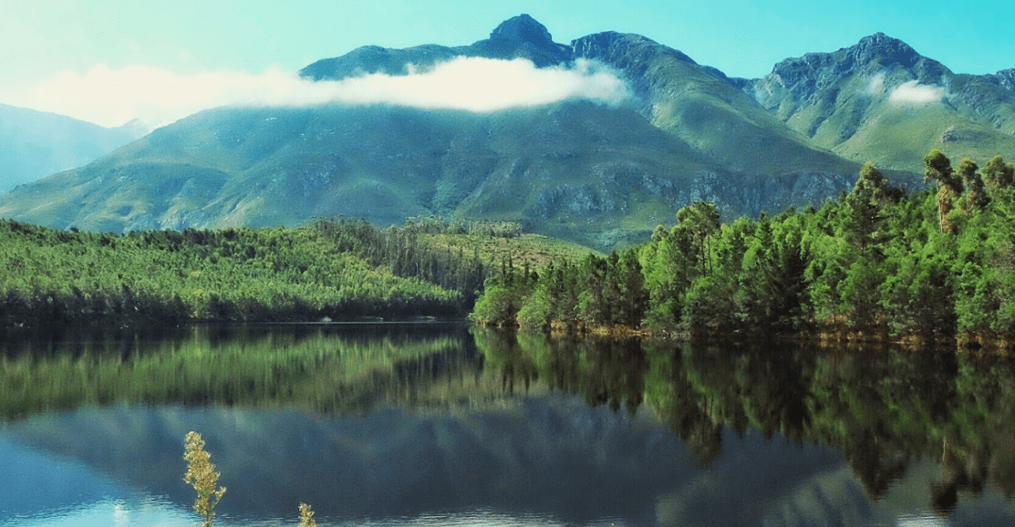
The Langeberg mountains
The Langeberg Range .Langeberg means means “long mountain in Dutch. The range runs roughly NW/SE for about 250km. It is composed mostly of Table Mountain Sandstone and is part of the Cape Fold Belt. Mountain Fynbos covers the Southern slopes of the mountains and there are some patches of Afromontane forest in the deep gorges. Karroid scrub is what you will find on the drier northern slopes.
The Langeberg mountains are within the zone between year-round and winter-rainfall areas. During summer, the mountains trap onshore, moisture-laden, winds from the Southeast and orographic rain falls. In winter, the prevailing westerly winds bring rain due to sub-Antarctic cold fronts. However, micro-climates significantly affect local rainfall. Generally, the lower slopes receive about 600 mm and the upper slopes and high peaks receive roughly 1 400 mm of rain every year. The rain falls mainly during spring and autumn
The highest peak in the range is Keeromsberg at 2,075 m. Some of the highest peaks of the range are located just to the north of Swellendam, in a subrange of the Langeberg known as the Clock Peaks the highest point is the 1,710 m high Misty Point. Local lore states one can tell the time by means of the shadows cast by the seven summits of the Clock Peaks.
Protected areas along the range are the Marloth Nature Reserve The Boosmansbos Wilderness Area the Grootvadersbosch Nature Reserve The Garcia State Forest
There are four mountain passes, that cross the Langeberg mountains Cogmanskloof Pass,Tradouws Pass, Garcia’s Pass, Cloetes Pass,
Is this your business?Claim it now.
Make sure your information is up to date.Colourdots is an independent Western Cape regional information resource. Learn more about the site here.