The Liesbeek River
The Liesbeek River which was originally called the Amstel or Versse Rivier. is named after a small river in Holland. Land along the river was granted to the first Free burgers in 1657. The river is only 9 km long and originates on the slopes of Table Mountain.
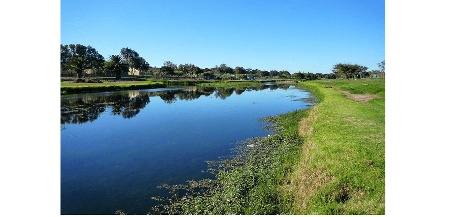
Jan Van Riebeek had a riverside property here. Water abstraction takes place to water local properties. The Josephine mill is placed on the river. From Rondebosch, a large part of the river has been canalized. Sadly some sections downstream have been badly eroded.
The confluence of The Black River with the Liesbeek River is just below Rosebank, Mowbray, and Observatory. At this location is the Two rivers urban park. The river merges with the Black River and then continues to Paarden Eiland and empties into the sea at Table Bay
The lower reaches of the river have large numbers of carp and sharp tooth catfish.
Coordinates: 33°56′11″S 18°28′35″E