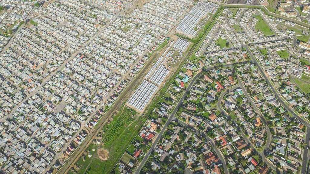
History of Nomzamo
Province: Western Cape
Coordinates: 34.115°S 18.86°E
Area: 3.56 km
Municipality: City of Cape Town
Nomzamo/Lwandle near Strand and Gordons Bay was first built up as a complex of hostel accommodation for migrant workers, mostly men from the Eastern Cape who came seeking employment in the fruit farming industry. It was established on a farm which was owned by Mr CPJ van Vuuren. He sold it to the Stellenbosch Divisional Council of the South African government in 1956. The farm was sold because it became unprofitable due to flooding in winter. The compound developed and grew into a township with a variety of buildings, some shacks, but also some brick and mortar buildings and more recently RDP houses.
The postcode for Nomzamo is 7140
local WEATHER TODAY
all listings in nomzamo
Useful Numbers
- Police: 021 845 2060 Lwandle Police Station (satellite of Strand)
- Traffic department: 021 488 4023
- Fire: Strand Fire Station-021 444 7600
- Water: 0860 103 089
- Electricity: 0860 103 089
- Ambulance:10177
- Post office;Strand East Post Office-021 853 3111
- Library: Suider Strand Library-021 850 4174
- Closest hospital; Community day Centre-074 199 8834
- Pharmacy;Usave -021 845 4781
- SPCA: Animal Welfare Society Helderberg-021 856 0597
- Sport and Recreation Centre: 021 850 4262
- Schools:
Nomzamo High School-081 469 5788
A.C.J. Phakade Primary School-081 561 5804
- Museum;Lwandle Migrant Labour Museum-021 845 6119
Other towns and suburbs in the Helderberg district include Gordon’s Bay, Macassar; Paarl, Sir Lowry’s Pass village, and Somerset West and Strand


