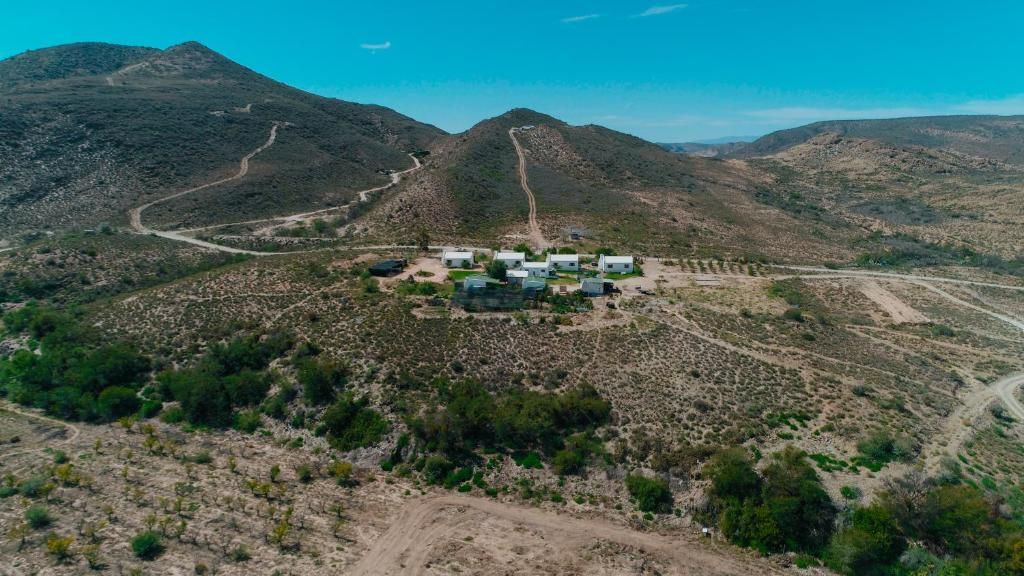
History of Van Wyksdorp
- Province: Western Cape
- Garden Route
- Coordinates:33.733°S 21.466°E
- Area:21.25 km2
- Municipality – Kannaland
Van Wyksdorp was founded in 1838, on the farm Buffelsfontein, It was owned by Gerrit van Wyk. Today it is a small village. A few direct descendants of Van Wyk still live in the area.
Van Wyksdorp lies at the foothills of the Rooiberg Mountains, between the Swartberg and the Langeberg Mountain ranges. The area was home to Hottentots before the white settlers arrived. The earliest buildings in the area date from about 1820 and were built from clay bricks. The small settlement grew into a small hamlet with several families living there. The fertile space was extensively farmed using old stone terraces and kraals which are still standing. The remains of threshing mills, two of which were water mills used back in the day can still be seen today.
The area used to be more forested than it is today, much of the deforestation happened during the Anglo Boer War. VanWyksdorp was a Boer stronghold, nearby Ladismith was British-controlled.
Things to see and do in Van Wyksdorp
- -Watermill farm
- Old Karoo architecture and gardens.
- There are several churches to see, the NG Kerk Van Wyksdorp is one of them.
- Saamwerk project, this is a cement brick-making and apricot drying employment project
- Cloete’s pass
WEATHER IN VAN WYKSDORP
see all listings in Vanwyksdorp
Useful Numbers
- Police:028 551 1367 / 082 411 2724
- Municipality-028 581 2354
- Traffic department: Ladismith-028 551 8000
- Fire: 028 551 1023 / 8000
- Water: 028 581 2354
- Electricity:028 581 2354
- Ambulance: 10177
- Post office; agency- 028 55 127 90/2
- Library:028 581 2009
- Closest hospital;Alan Blythe Hospital-ER-Ladismith-028 551 1342
- Clinic-028 581 2304
- SPCA:Karoo animal protection-072 277 1056 – 023 1110058
- Schools; Van Wyksdorp Primary School-028 581 2308
- Tourism – 082 559 1777 info@vanwyksdorptourism.com
- Watermill farm
Other towns in the district of Kannaland are Calitzdorp; Ladismith; Zoar and Amalienstein


